Download The Latest Version
View Previous Versions
Download The Latest Version
View Previous Versions
Introduction and Review
Google Earth, one of the crowning jewels in Google LLC’s expansive software arsenal, truly stands as a marvel of modern technology. At its core, Google Earth is a geospatial computer program that offers a detailed 3D representation of Earth based on satellite images, aerial photography, and GIS (geographic information system) data. Yet, to describe it so technically is an injustice; Google Earth is not just a tool, but a gateway to worldwide exploration from the comfort of our own screens.
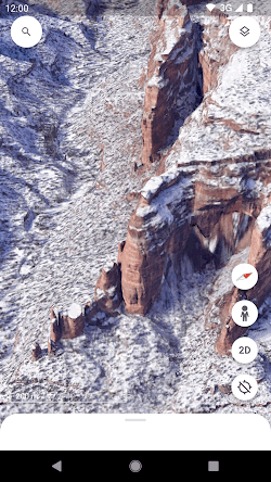
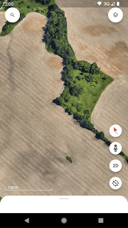
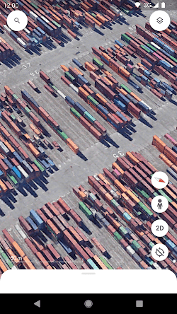
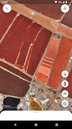
In fact, one cannot discuss Google Earth without addressing its fluid and user-friendly interface. The globe can be rotated, zoomed into, and traversed with absolute ease. For those who haven’t visited a destination or are eager to relive a journey, Google Earth provides a visual experience unlike any other. The impeccable detail with which cities, terrains, oceans, and even the outer space are rendered evokes a sense of wonder. It’s akin to having a personal, virtual spaceship, allowing for planetary exploration at the click of a button.
Beyond personal use, Google Earth holds academic and professional merits. Educational institutions harness its capabilities to offer geography lessons that transcend the boundaries of textbooks. Urban planners, environmental researchers, and various professionals utilize it for analysis, simulations, and project presentations. The platform also allows for layering of custom datasets, thus making it a customizable tool for advanced GIS tasks.
However, it’s not just the spectacular visuals or the professional utilities that make Google Earth praiseworthy. The software has introduced innovative features over the years, turning it into a potent educational and storytelling platform. Features like Voyager serve as digital narratives, guiding users through thematic tours – from explorations into the animal kingdom to diving deep into global cultures.
More than that, one of the groundbreaking features of Google Earth is the ability to travel back in time with the historical imagery feature. Users can view archived satellite imagery from different time periods, allowing them to witness the changes that have occurred over the years. This feature is not only fascinating for individuals interested in history and urban development but also serves as a valuable resource for researchers and educators.
While Google Earth is largely celebrated, it’s not without its critiques. Concerns about privacy arise, as high-resolution imagery might inadvertently capture and display sensitive areas or activities. Google has addressed these concerns by blurring faces and license plates, and periodically updating images to maintain relevance and address issues.
To conclude, Google Earth stands as a testament to human ingenuity. It not only encapsulates our planet in intricate detail but also serves as a bridge, connecting people to places, histories, and stories that they might never physically touch. It has turned the vastness of our world into an accessible, interactive globe, and in doing so, made Earth a little smaller and more familiar.
Updates
In its latest update version on October 23, 2023, the developers have not only fixed some of the latest errors and bugs, but also added features that allow users to collaborate with others across devices, as well as the ability to create maps and insert local images from anywhere. According to the update history, the app has been updated basically once a month to solve actual problems and adopt suggestions from users’ feedback as well as to optimize more new features and eliminate newly appeared bugs.
Features
1. Google Earth allows users to explore archived satellite imagery from different time periods, enabling them to witness the changes that have occurred over the years.
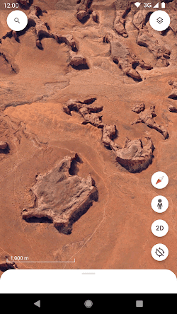
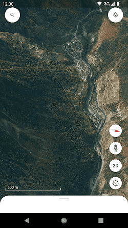
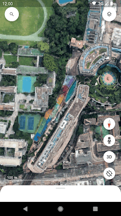
2. The 3D view feature offers a realistic and immersive experience by rendering buildings and landscapes in three dimensions, enhancing the exploration of cities and landmarks.
3. With Street View, users can explore cities and neighborhoods at ground level, getting a virtual tour and a realistic feel for different locations around the world.
4. Google Earth provides a variety of layers that overlay additional information on the map, including points of interest, transportation routes, weather information, and real-time data for natural disasters.
5. The search feature allows users to quickly find specific locations, landmarks, or addresses, making it easy to navigate and explore the world within the application.


 Get it From Google Play

 Get it From App Store
Download The Latest Version
View Previous Versions
Get it From App Store
Download The Latest Version
View Previous Versions
Similar to This App


ratings

Disclaimer
Top Apps